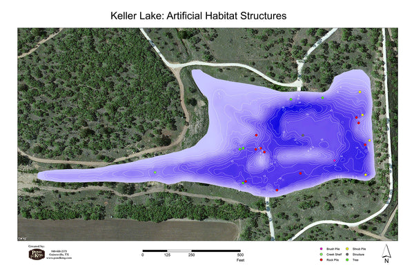
Lake Mapping
Lake Mapping is the best way to learn what a pond or lake looks like under the water. Using state-of-the-art GPS and advanced depth finders to collect data, we can show you a visual representation of shape, depth, bottom contours, habitat locations, and other features of your pond or lake, and its ecosystem. The information gathered during lake mapping can be used for vegetation management, habitat enhancement, fish stocking, to determine the chemicals needed for vegetation treatments, and to track silt levels in your pond over time.


